Interactive venue map for a festival, fair or outdoor event
Festivals and fairs have no room numbers, but they have the same question every minute: where is the nearest restroom, which stage is this, how do I get back to Gate C? A Waygo map on the visitor's phone answers it, from a QR code at the gate.
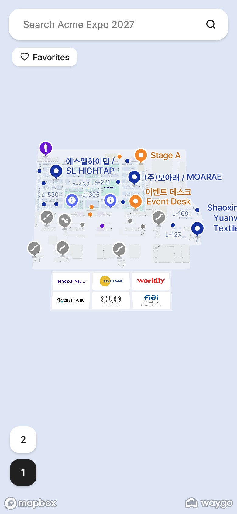
The site plan
Waygo builds the map from the site drawing the same way as from a building plan: stages, tents, vendor pitches, paths and gates become places and walkways. Upload the plan under Uploading floor plans; a single level is common, a multi-level grandstand or a hall on the grounds simply adds levels.
The content
| Catalog | Rows | Placed by | Tip |
|---|---|---|---|
| Stages (landmark) | Every stage and arena | Stage name on the plan | Landmarks make directions read “past the Main Stage”. |
| Food & drink | Every vendor | Pitch number | A Cuisine column (vegan, coffee, BBQ) makes “vegan” a working search. |
| Amenities (landmark) | Restrooms, water, first aid, info, lockers, charging, ATMs | Their labels on the plan | The searches people run most. |
| Vendors / market | Stalls | Pitch number | Categories as a column. |
| Gates & parking (landmark) | Gates, shuttle stops, car parks | Their labels | “Directions to Gate C” at the end of the night. |
Rows come in as CSVs from your vendor list and site plan (Content catalogs).
Suggested searches
Set them in Map settings: Restrooms · Water · Food · First aid · Main Stage · Gate C. On a phone, one tap beats typing on a sunny field.
Share it
- One QR code at every gate and on the wristband or programme, from the map link. See QR codes for booths and rooms.
- The map link in the festival app or website, or an embed on the “Site map” page (Map in a mobile event app).
- A link per stage in the schedule: Bulk links on the Stages catalog.
- Directions from the visitor's location: directions on a phone can start from where the visitor stands when they allow location access, so “Take me to first aid” works anywhere on the grounds.
On the day
Vendors move, a stage gets renamed, a water point is added: edit the row and the map follows. The Usage section shows the top searches by the hour of the first day; promote them to suggested searches.
Frequently asked questions
- Can I make a festival map that works on phones without an app?
- Yes. Visitors scan a QR code at the gate and the map opens in the phone's browser with search, details and directions.
- Can visitors find the nearest restroom or water point?
- Yes. Put amenities in a catalog; a search or a suggested-search chip highlights all of them, and directions can start from the visitor's own position.
- Does the map work outdoors and across a large site?
- Yes. The site plan is the map; walking paths cover the grounds, and directions follow them between stages, vendors and gates.