Guides
Everything you do with a Waygo map happens in the dashboard and needs no code. These guides follow the life of a map: it is built from your floor plans, it goes live, you share it, you keep its content current.
How a Waygo map works
Your Waygo team creates your map
A map appears in your dashboard as a draft with its own link address, for example
maps.waygomaps.com/acme-expo-2027. The address never changes, so every link and kiosk you make later keeps working.You upload floor plans
One file per level (PDF, DWG, DXF, SVG, PNG, JPEG or TIFF). Waygo turns each drawing into a built level of your map. See Uploading floor plans.
Waygo builds and styles the map
Rooms, booths, corridors and walking paths become searchable places with directions. You follow the progress on the map's page.
You add your content
Exhibitors, sessions, amenities: rows in a content catalog, placed onto the map so visitors can search for them. See Content catalogs.
You preview it, then go live
Nothing is public until you choose Go live. See Publishing and going live.
You share it
The map link, the embed code, links that open on a place or with directions, bulk links for badges and QR codes, and kiosks for screens in the venue. See Map link and embed code.
The dashboard
Sign in at dashboard.waygomaps.com. Home shows your maps and the shortcuts; Maps lists every map with its status; Content catalogs holds your content; Sub-accounts your client or event accounts.
The Map page
Every map has one page in the dashboard. The header shows the map's name, its status (Draft, Live or Offline) and its public address. Below it, one section per thing the map has: publishing, floor plans, content, links, kiosks, usage and publish history, with the map's details in the right-hand rail.
Words you will see
| Word | Meaning |
|---|---|
| Map | One venue map with its own public link address. |
| Level | One floor of the map: “1 · Expo Hall”. A map has one or more levels. |
| Floor plan | The drawing you upload for a level. Its status goes Uploaded → Building → Ready. |
| Content catalog | A table of your content (exhibitors, sessions, food stands…). Each row is one place visitors can find on the map. |
| Placed | A catalog row that has a spot on the map. “298 of 301 rows placed.” |
| Link | An address that opens the map in a state: a place, a search, directions, a floor and view. |
| Kiosk | A saved screen in your venue with a stable link. Directions start from where it stands. |
| Publish | Bake your latest content into the map for faster loads. Runs by itself; you can also run it. |
| Go live | Make the map public. Until then only preview links open it. |
What visitors get
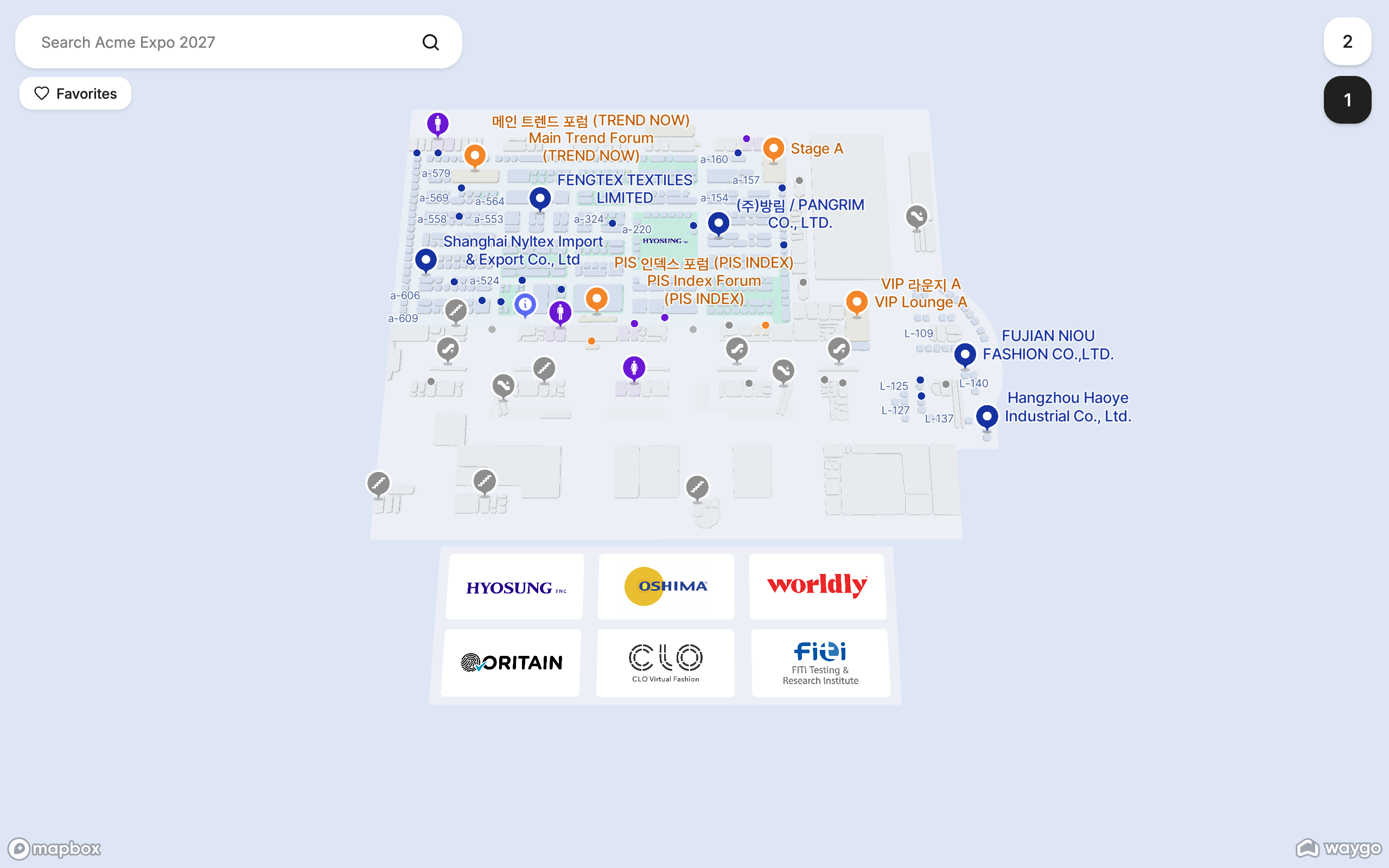
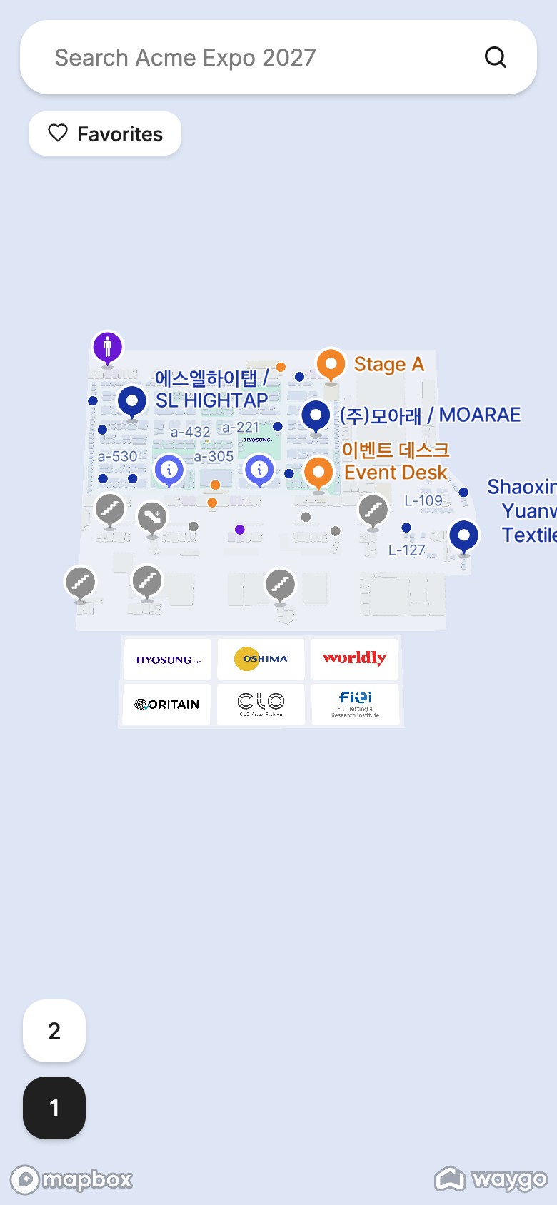
The map link opens the map in any browser, on any device, with search, level buttons, place details and walking directions. No app to install.